
Google Earth does not provide much information about streets and places or geographical details. Its aim is to provide you with an experience similar to traveling.
If you have got more day-to-day needs and need practical advice, Google Maps is the one for you.
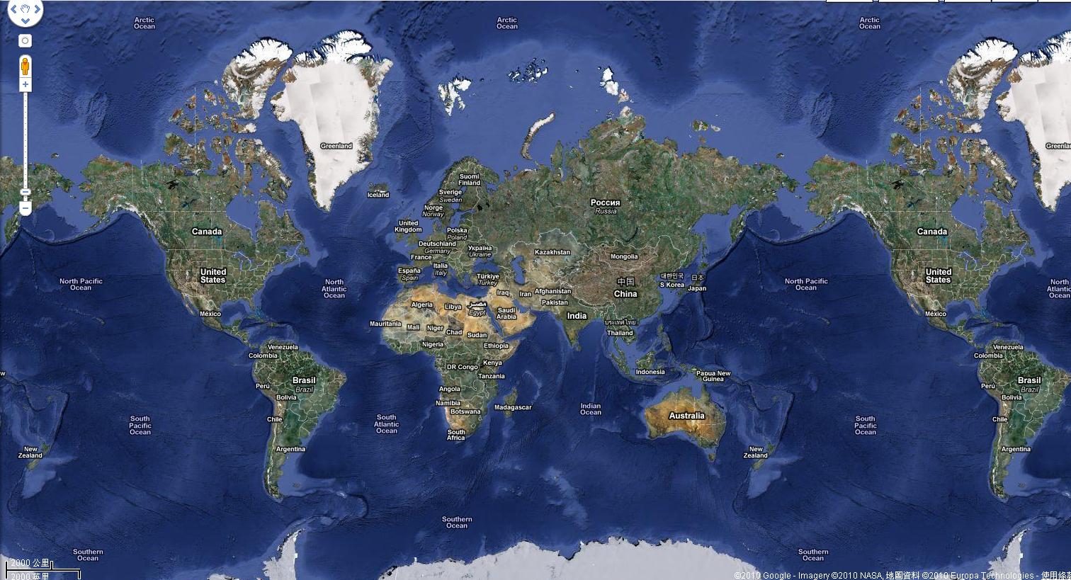
Google Earth was released back in 2001, and it allows you, the user, to have a virtual tour of almost any place you want. This would facilitate your decision on a trip.
In order to do so, the app uses a rendered 3D representation of our globe using aerial photography and satellite imagery.
Google Earth was originally created by a company funded by CIA called Keyhole Inc in the 1990s and is the older than Google Maps.
After this program, in 2009 Google Ocean got released. This one helps you see what is below the surface of the ocean without any scuba diving neede.
If you want to take a virtual trip to the moon, Mars or other objects in the solar system, you can also use Google Earth.
If you want to navigate the globe in virtual reality, you can do that now thanks to the latest update by using Oculus Rift Technology.
If you have no idea what part of the world you want to see today, the app will take you to a random place if you use the popular I’m Feeling Lucky function of the app.
Google Maps offers you a different experience.
It was initially released and designed by another company and got launched in 2005.
It is mostly used as a GPS for when you need to get to a location you are not familiar with or in case you get lost in another country than your own.
Agnes is a technical writer, being in touch with reports to come up with the latest tech leaks.